


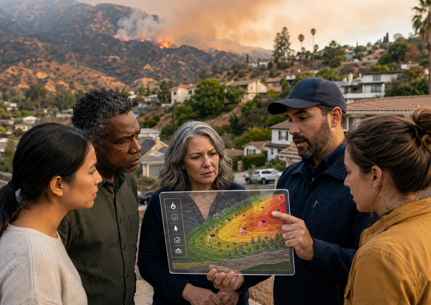
Artificial intelligence is rapidly becoming part of the infrastructure communities use to understand wildfire risk. Machine-learning systems can analyze vegetation, terrain, weather patterns, building characteristics, satellite imagery, historical fire behavior, and neighborhood conditions at a scale that would be difficult to achieve through manual inspection alone. These capabilities could help emergency managers identify vulnerable areas, help planners prioritize mitigation investments, and help residents understand how features around their homes may contribute to ignition or fire spread.
Yet predictive power does not automatically create public value. A technically sophisticated wildfire model may produce a risk score, map, or recommendation that appears authoritative while remaining incomprehensible to the people expected to act on it. When residents cannot determine why their property received a particular score, what information the system used, how certain the prediction is, or whether the result reflects conditions in their neighborhood, the technology may generate skepticism rather than preparedness.
The central challenge is therefore not simply whether artificial intelligence can predict wildfire risk. It is whether communities can understand, question, and responsibly use those predictions. Disaster technology fails as public-safety infrastructure when the communities it is intended to protect do not understand or trust it.
The Expanding Geography of Wildfire Risk
Wildfire risk is no longer limited to isolated forest communities. Development has expanded into areas where homes, infrastructure, grasslands, shrublands, and other combustible vegetation intersect. A national analysis published in Science found that the number of homes located within wildfire perimeters doubled between 1990 and 2020, driven by both increased development and greater burned area. The research also demonstrated that more homes were exposed to grassland and shrubland fires than to forest fires, complicating the popular assumption that wildfire is primarily a threat to heavily forested landscapes (Radeloff et al., 2023).
Southern California illustrates this changing risk environment. Dense development, steep terrain, dry vegetation, powerful winds, aging infrastructure, narrow evacuation routes, and closely spaced structures can create conditions in which fire moves from the natural environment into residential neighborhoods—and then from structure to structure. Under these circumstances, wildfire preparedness is not merely a matter of predicting where flames may originate. It requires understanding how homes, vegetation, transportation systems, utilities, neighborhood design, human behavior, and emergency communications interact.
Artificial intelligence may help analyze these relationships, but its outputs must be interpreted carefully. California’s Office of the State Fire Marshal distinguishes between hazard and risk. Public agencies and community organizations should also connect residents with accessible community resilience resources that turn risk information into neighborhood-level action. Hazard describes the physical conditions that influence the likelihood and expected behavior of fire, while risk considers the potential consequences under existing conditions, including mitigation measures such as defensible space, fuel reduction, and ignition-resistant construction. A public-facing AI system that labels a property “high risk” without explaining which concept it is measuring may create confusion, unnecessary fear, or false reassurance (California Office of the State Fire Marshal, n.d.).
What the Los Angeles Study Adds to AI Wildfire Risk Assessment
A 2026 study by Sanaz Sadat Hosseini, Mona Azarbayjani, Mohammad Pourhomayoun, and Hamed Tabkhi proposed a community-led model for developing AI-assisted wildfire risk assessments in Los Angeles County. The researchers introduced the Participatory AI Literacy and Explainability Integration framework, or PALEI, which places community understanding, value alignment, fairness, and explainability at the beginning of the design process rather than treating them as features to be added after a predictive model has already been built (Hosseini et al., 2026).
The framework was initially applied to communities associated with recent wildfire impacts, including Altadena, Pasadena, and Pacific Palisades. The proposed tool would eventually allow residents to examine visible exterior property conditions and receive an interpretable risk assessment accompanied by mitigation recommendations. Importantly, however, the researchers began engaging residents before constructing the predictive model. Participants reviewed simulated risk scores, visual scenarios, uncertainty ranges, conceptual application screens, and “why this score” explanations. The purpose was to determine how residents interpret wildfire information, what explanation formats they find useful, and which privacy, fairness, and accuracy concerns must be addressed before deployment.
PALEI contains six iterative stages: establishing an AI-literacy baseline; defining the problem and aligning community values; identifying explanation needs; co-designing prototypes; evaluating trust, fairness, and uncertainty; and creating long-term governance and knowledge-transfer mechanisms. This structure recognizes that trust is not produced by a single disclosure statement. It develops through repeated opportunities for residents to learn how the system works, influence its design, challenge its assumptions, and evaluate whether its recommendations correspond to lived conditions.
The study’s early findings are promising but should be interpreted as exploratory. Seven residents participated in the initial live town hall, while preliminary survey results included 28 respondents who either attended or reviewed the recorded session. Among those respondents, 85.7 percent liked or strongly liked the proposed interface, 71.4 percent indicated that they would be likely or very likely to use the application, and 75 percent perceived it as somewhat or very fair across neighborhoods. At the same time, 57.1 percent identified privacy and data security as concerns, while 42.9 percent raised concerns about accuracy and uncertainty. No functioning predictive model had yet been developed, so these findings measure reactions to the proposed explanations and interface rather than the accuracy or effectiveness of an operational system (Hosseini et al., 2026).
That limitation does not diminish the study’s principal contribution. Its most important insight is procedural: communities should help define how disaster technology communicates long before they are asked to trust its conclusions.
Explainability Is More Than Showing the Algorithm
In public discussions, transparency and explainability are often used interchangeably. They are related but distinct. Transparency concerns what information is available about a system: who developed it, which data were used, what its intended purpose is, and how decisions are documented. Explainability concerns how the system reached a particular output. Interpretability concerns what that output means in the user’s actual context.
The National Institute of Standards and Technology identifies accountability, transparency, explainability, interpretability, privacy, reliability, security, and fairness as interconnected characteristics of trustworthy AI. NIST also cautions that transparency alone does not make a system accurate, fair, private, or secure. It merely makes those characteristics easier to examine. In high-consequence settings, organizations should increase transparency and accountability in proportion to the severity of the possible consequences (National Institute of Standards and Technology [NIST], 2023).
NIST’s four principles of explainable AI provide a useful foundation for wildfire technology. An explainable system should provide reasons for its outputs, make those reasons meaningful to the intended user, ensure that the explanation accurately reflects the system’s process, and communicate the limits of its knowledge. The same explanation will not work equally well for software engineers, fire officials, elected leaders, homeowners, renters, older adults, or residents who speak different languages. Explainability must therefore be designed around the person receiving the information and the decision that person must make (Phillips et al., 2021).
For a wildfire risk tool, a number such as “78 out of 100” is not an adequate explanation. A meaningful output would identify the factors that contributed most heavily to the score, such as combustible fencing, vegetation near a structure, roof materials, slope, spacing between homes, prevailing winds, or nearby parcels. It would distinguish observed conditions from inferred conditions, show the degree of uncertainty, explain when the information was last updated, and identify practical actions that could lower vulnerability.
The goal should not be to persuade residents that the algorithm is always correct. The goal should be to help residents develop appropriately calibrated trust—confidence when the evidence is strong, caution when the evidence is incomplete, and a clear understanding of when human inspection or professional judgment is still necessary.
Local Knowledge Is Operational Data
Wildfire models are shaped by the information they receive. Satellite imagery and public datasets may reveal vegetation density, topography, roof geometry, or historical burn patterns, but they may not capture recent landscaping work, inaccessible roads, informal evacuation practices, unpermitted structures, residents with mobility limitations, malfunctioning hydrants, seasonal wind patterns, or the neighborhood relationships through which warnings and assistance are actually shared.
These are not peripheral details. They can determine whether a risk assessment accurately represents local conditions and whether a mitigation recommendation is realistic.
Participatory design allows residents, community organizations, fire personnel, planners, utility representatives, and emergency managers to compare model assumptions with on-the-ground knowledge. This reflects the whole-community approach to emergency management, in which residents, institutions, nonprofits, businesses, and government agencies contribute distinct forms of knowledge and operational capacity. A neighborhood may know that a mapped evacuation route routinely becomes congested, that a hillside access road is difficult for fire apparatus, or that certain residents depend on electricity for medical equipment. A technically accurate vegetation assessment can still be operationally incomplete if it ignores these social and infrastructural conditions.
The PALEI framework addresses this problem by moving from the parcel to the neighborhood. It recognizes that wildfire vulnerability is interdependent: one property’s wooden fence, dense vegetation, or vulnerable exterior may create a pathway that affects surrounding homes. Risk communication should therefore help residents understand not only “What is my score?” but also “How do conditions across our neighborhood affect one another?”
This shift matters for community development as well as emergency management. A resident who receives only an individualized warning may interpret mitigation as a private responsibility. A resident who sees neighborhood-scale pathways may understand why collective vegetation management, home-hardening programs, infrastructure improvements, evacuation planning, and assistance for lower-income households are necessary.
Trust Is a Governance Outcome
Public trust cannot be manufactured through a polished interface. It depends on how an institution behaves before, during, and after the technology is deployed.
Residents will reasonably ask who owns the system, who is responsible when an assessment is wrong, how frequently the data are updated, whether results can be appealed, whether the information will be shared with insurers or other third parties, and whether some neighborhoods are represented more accurately than others. These are governance questions, not merely technical questions. Technological assessments should complement—not displace—meaningful public engagement in decisions affecting community safety.
A trustworthy wildfire AI program should identify a responsible public agency or governing partnership, document the system’s intended and prohibited uses, establish procedures for correcting errors, and regularly test whether performance differs across neighborhoods. These safeguards are essential to institutional accountability and public transparency. It should also explain when a resident is interacting with an AI-generated assessment and where human review remains available.
Privacy requires particular attention when an application uses photographs or scans of private property. Residents should know what images are collected, whether addresses or other identifiers are retained, how long the information is stored, who may access it, and whether participation is voluntary. Meaningful consent requires more than a checkbox; residents must understand how their information may be used and what consequences participation could create. Data minimization should be the default: the system should collect only what is necessary to provide the assessment and fulfill an explicitly stated public-safety purpose.
Without these protections, even an accurate model may be rejected. Residents may reasonably fear that information submitted for preparedness could later influence insurance availability, code enforcement, property valuation, or other decisions that were never part of the original agreement.
Explainability Must Produce Action
An explanation is not useful merely because it describes how a score was calculated. In emergency management, information must connect to a decision.
A resident who learns that vegetation contributed heavily to a risk score should receive clear, locally appropriate guidance about defensible space, plant maintenance, and available assistance. A neighborhood identified as vulnerable because of limited egress should be connected to evacuation planning and transportation support. A community in which older adults or residents with disabilities face elevated evacuation barriers should receive accessible planning resources rather than a generic recommendation to “leave early.”
The 2026 National Wildfire Evacuation Planning Guidance identifies public education and engagement as cornerstones of wildfire life safety. It also emphasizes clear, consistent, accessible communication across language, disability, and technological barriers. Transparent, empathetic communication and opportunities for public feedback are presented as important components of maintaining trust before and after evacuation (U.S. Fire Administration, 2026).
AI risk assessments should support these established emergency-management responsibilities, not replace them. A predictive application is not an evacuation order, an incident intelligence product is not a guarantee, and an algorithm should not become a substitute for fire-science expertise, field observations, or incident command. Public-facing systems must clearly distinguish long-term risk information from real-time warnings so that residents do not mistake a preparedness score for current incident conditions.
A Practical Standard for Community-Facing Disaster AI
Before a public agency adopts an AI-assisted wildfire assessment, it should be able to answer several basic questions.
What is the system measuring? The tool should distinguish hazard, exposure, vulnerability, and overall risk rather than collapsing them into an unexplained score.
Why did it produce this result? Residents should be able to identify the most influential factors, the evidence supporting them, and the actions that may change the assessment.
What does the system not know? Data gaps, outdated imagery, uncertain classifications, geographic limitations, and conditions requiring professional inspection should be disclosed.
Who participated in its design? Engagement should include residents from differently situated neighborhoods, renters and homeowners, people with access and functional needs, emergency personnel, local organizations, planners, and other affected stakeholders.
How is privacy protected? Collection, retention, sharing, consent, and deletion practices should be understandable without requiring technical or legal expertise.
Who is accountable? The public should know which organization maintains the system, how errors can be reported, when human review is available, and who has authority to change or discontinue its use.
Does the explanation lead to feasible action? Recommendations should account for cost, tenancy, disability, language, local regulations, and access to mitigation assistance. Telling residents what they should do without addressing whether they have the authority or resources to do it can deepen inequality.
These questions establish a higher standard than technical accuracy alone. They treat explainability as part of preparedness, risk communication, equity, and democratic accountability.
Technology Should Strengthen Relationships, Not Replace Them
The strongest contribution of the PALEI framework is its recognition that disaster technology is part of a social relationship. Communities are not simply end users receiving information from experts. They possess knowledge, values, experiences, and concerns that should influence what a system measures and how its conclusions are communicated.
Artificial intelligence may help communities detect patterns that would otherwise remain hidden. It may help emergency managers prioritize inspections, help planners identify neighborhood-scale vulnerabilities, and help residents see how seemingly ordinary features contribute to fire spread. But those benefits will depend on whether the technology is understandable, contestable, locally relevant, and connected to practical resources.
Explainability should therefore be viewed as a form of resilience infrastructure. It enables residents to understand risk, evaluate institutional decisions, recognize uncertainty, and participate in mitigation. Participation, in turn, gives emergency managers better information and creates opportunities to correct faulty assumptions before they become operational failures.
Communities do not need disaster technology that merely tells them they are at risk. They need tools that show why risk exists, what can be changed, what remains uncertain, and how public institutions will stand beside them in addressing it.
The future of artificial intelligence in emergency management should not be measured solely by how accurately a model predicts disaster. It should also be measured by whether people can understand the prediction, trust the process that produced it, and use the information to protect one another.
References
California Office of the State Fire Marshal. (n.d.). Fire hazard severity zones. California Department of Forestry and Fire Protection.
Hosseini, S. S., Azarbayjani, M., Pourhomayoun, M., & Tabkhi, H. (2026). Community-led AI integration for wildfire risk assessment: A Participatory AI Literacy and Explainability Integration (PALEI) framework in Los Angeles, CA. arXiv. https://doi.org/10.48550/arXiv.2604.17755
Miller, R. K., Field, C. B., & Mach, K. J. (2020). Factors influencing adoption and rejection of fire hazard severity zone maps in California. International Journal of Disaster Risk Reduction, 50, 101686. https://doi.org/10.1016/j.ijdrr.2020.101686
National Institute of Standards and Technology. (2023). Artificial Intelligence Risk Management Framework (AI RMF 1.0) (NIST AI 100-1). U.S. Department of Commerce. https://doi.org/10.6028/NIST.AI.100-1
Phillips, P. J., Hahn, C. A., Fontana, P. C., Yates, A. N., Greene, K., Broniatowski, D. A., & Przybocki, M. A. (2021). Four principles of explainable artificial intelligence (NISTIR 8312). National Institute of Standards and Technology. https://doi.org/10.6028/NIST.IR.8312
Radeloff, V. C., Mockrin, M. H., Helmers, D., Carlson, A. R., Hawbaker, T. J., Martinuzzi, S., Schug, F., Alexandre, P. M., Kramer, H. A., & Pidgeon, A. M. (2023). Rising wildfire risk to houses in the United States, especially in grasslands and shrublands. Science, 382(6671), 702–707. https://doi.org/10.1126/science.ade9223
U.S. Fire Administration. (2026). National wildfire evacuation planning guidance (1st ed.). Federal Emergency Management Agency.

Leave a Reply
You must belogged in to post a comment.